Consultancy Services
The geospatial integrity of a proposed well location is only matched (as a minimum) by the geospatial integrity of the seismic positioning data. Errors propagate through data acquisition, processing, and data loading and manifest themselves on the horizontal and vertical precision of the seismic positioning data. Analysing the error budget is critical because of the nature of data acquisition and the propensity to perform coordinate operations on the positioning data.
Exploration Data Life Cycle
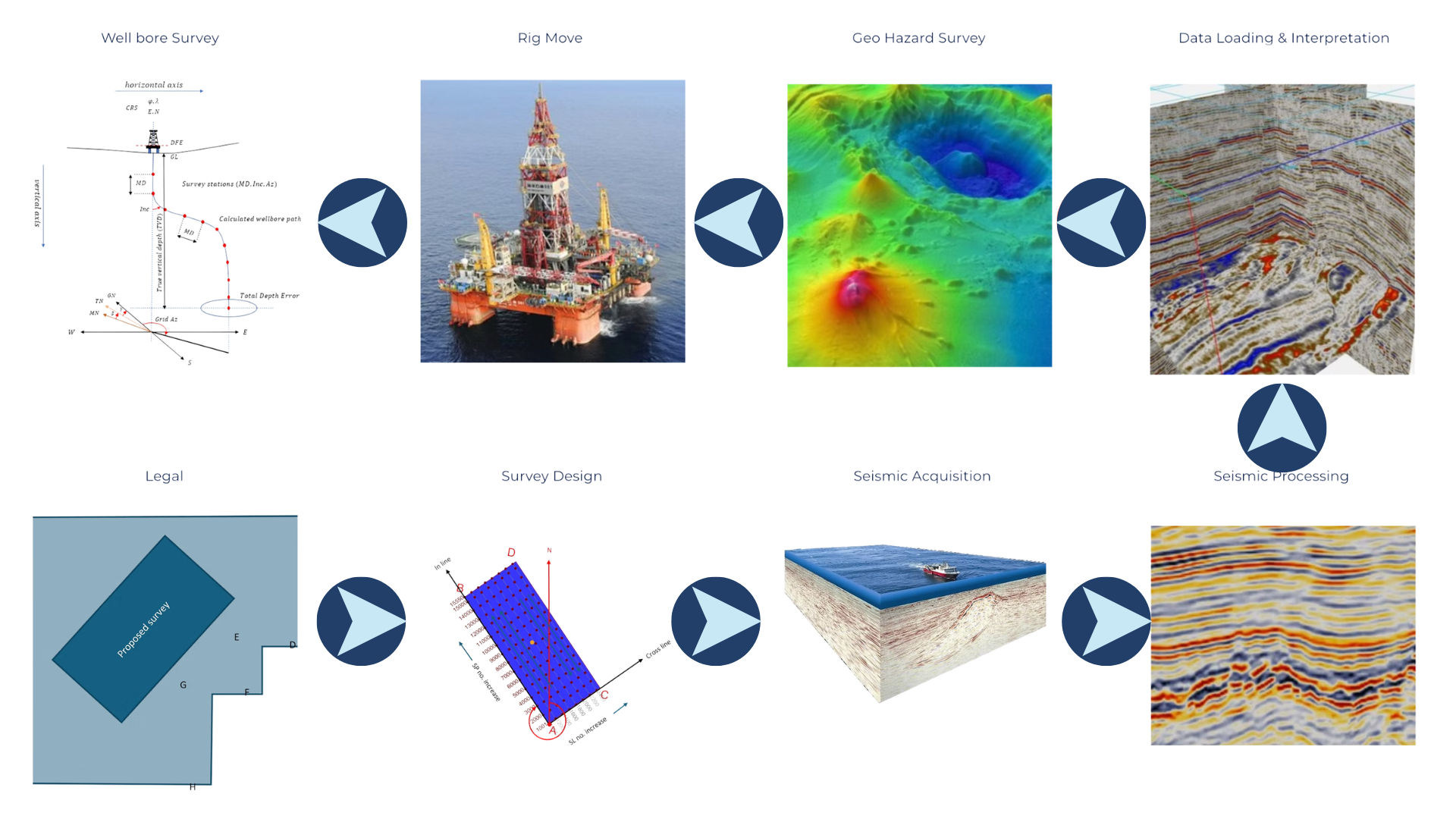
Geomatic Solutions provides geo-spatial consultancy services across both exploration and production data life cycle to ensure the precision, compliance, and usefulness of your data. We support planning, acquisition, processing, and data loading stages using our proprietary automated quality assurance and quality control workflows to validate all aspects of the data used by your stakeholders. This includes metadata and attributes comprising coordinate reference systems, formats, units, and north referencing. By maintaining a rigorous geodetic framework and QC standards for all life cycle stages, we aim to reduce risk, eliminate reworking, and enable reliable digital data integration across projects and disciplines.